We need your help. Please tell us how you use this data and how it could be improved using the feedback form at the bottom of this page. You can also email your suggestions to: publicfrppdata@gsa.gov.
FASTA authorizes the exclusion of real property from publication for reasons of national security and Freedom of Information Act (FOIA) exemptions. Decisions regarding which properties to exclude based on FOIA and national security determinations were made by individual federal agencies.
For the assets excluded under FOIA, the public data set file shows only the agency name, the FOIA exemption, and, if applicable, the statutory citation. At the request of the U.S. Department of State (State) and the U.S. Agency for International Development (USAID), the map only includes State and USAID properties that are located in the United States.
Persons seeking to use the FRPP public data set should be aware that the data provided through this site may not reflect the current inventories of the executive branch agencies that submit data to FRPP MS. Agencies submit data once every fiscal year.
Pursuant to the Federal Asset Sale and Transfer Act of 2016, the U.S. General Services Administration (GSA) made real property data from the Federal Real Property Profile Management System (FRPP MS) accessible to the public on December 15, 2017. FRPP MS is the federal government’s centralized inventory of real property under the custody and control of executive branch agencies. The most recent edition of FRPP data currently accessible on this site represents the government’s inventory at the end of fiscal year (FY) 2023. Archived public data for FYs 2022 through 2016 are also available.
Agencies submit descriptive information on the nature, extent, and use of their real property assets to FRPP MS annually according to guidance outlined in the Federal Real Property Council Guidance for Real Property Inventory Reporting, also known as the FRPP data dictionary. The FRPP data dictionary defines the data elements and technical requirements for submitting data to FRPP MS and is available at gsa.gov/datadictionary.
The FRPP data accessible here is an extract from FRPP MS. The original source of FRPP data is the various landholding agencies that submit data to FRPP MS. Those agencies determine the data they submit to FRPP MS as well as the assets excluded from the public data set.
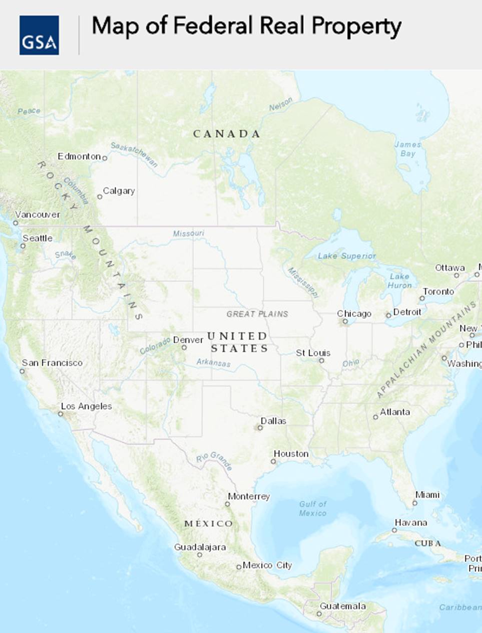
Click the image below to view the map of Federal Real Property.
Please allow some time for the data to load.
FRPP Map User Video. Watch this YouTube video to learn how to search for Federal real property within the FRPP Map.
If you have any questions or would like to provide feedback, please email publicfrppdata@gsa.gov.